
Onsite Sale Event Dates:
11/29 Ashby Public Library Artisan Market (10am - 3pm) Free entry and parking. With at least 50% off for in person sales.
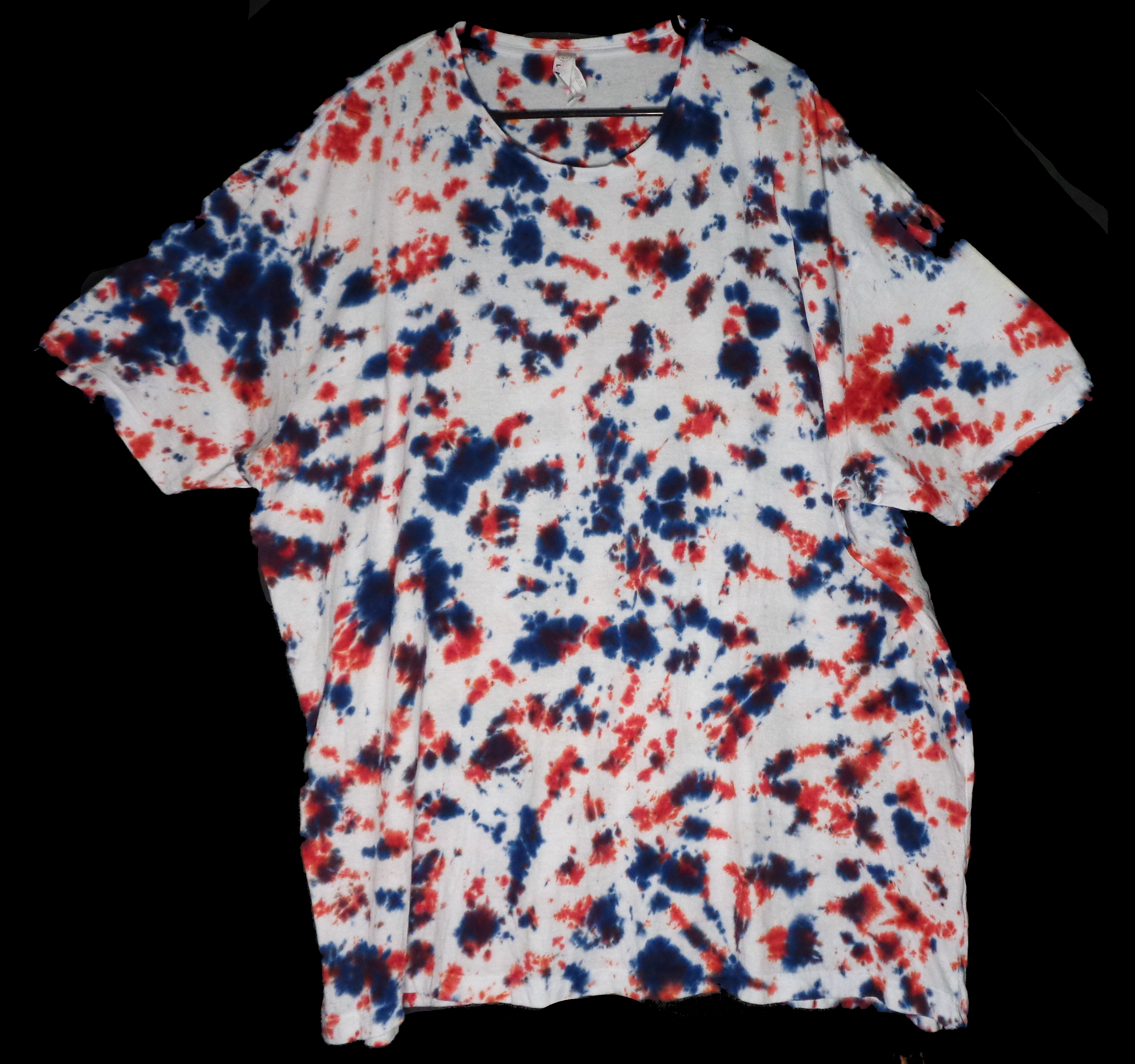
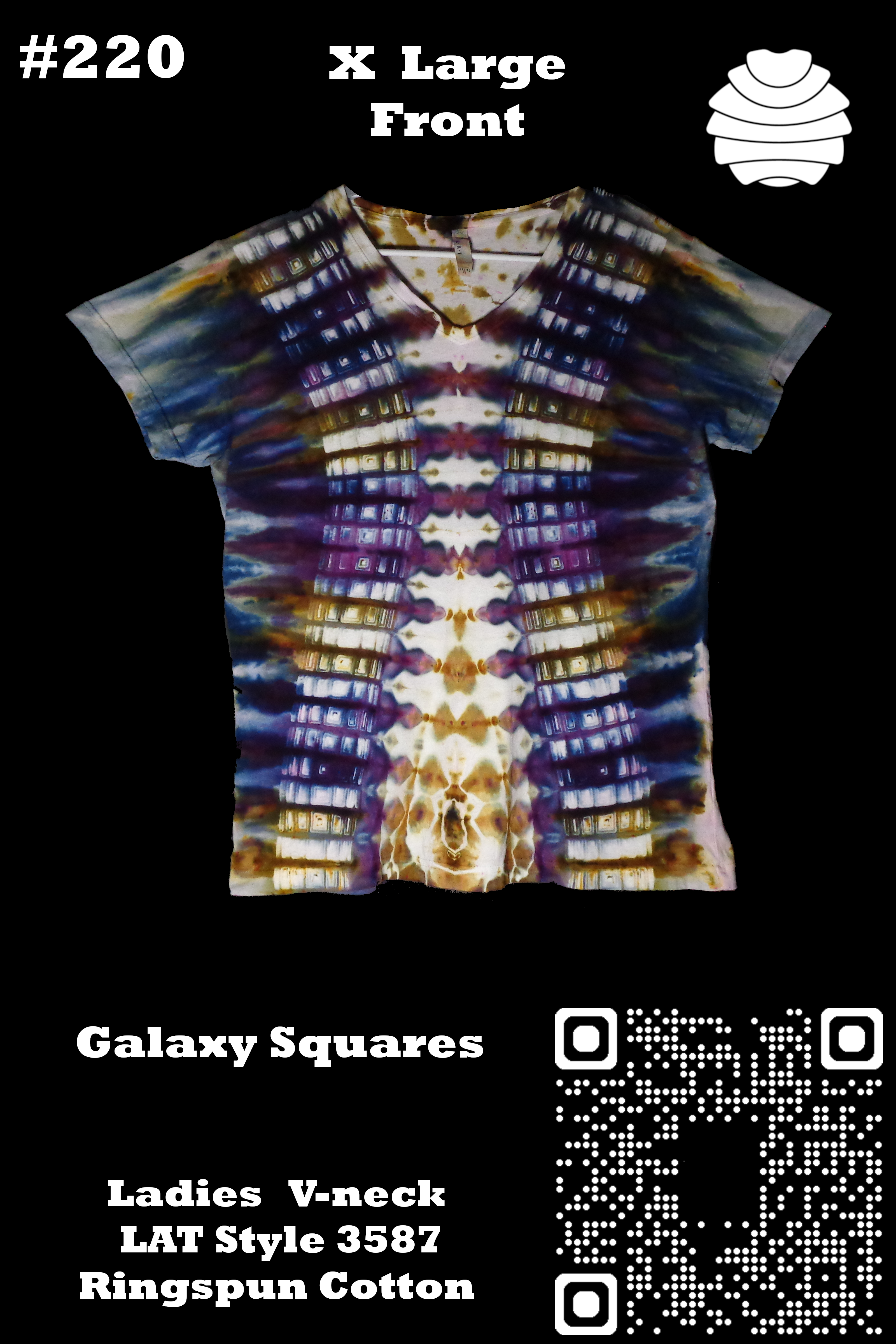
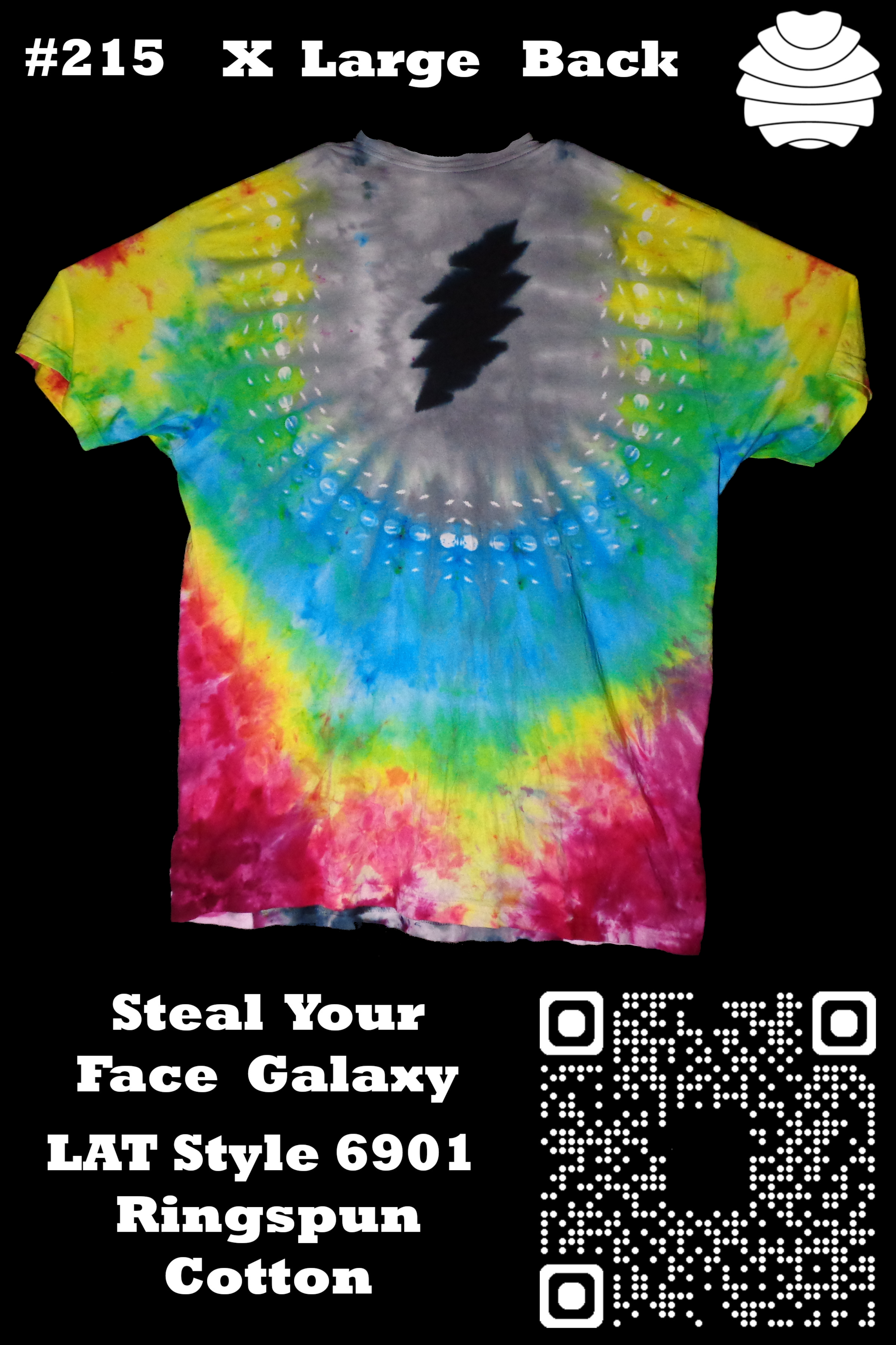
Visit my Page for current Items for Sale, more will be posted over time. Custom orders made to order will be available soon. Right now, sales are for single custom-made Dyenied Shirts.
About the Shirts: I hand-dyed them, not using prints or Dye Sublimation. I did not use dye Resists, wax, or chemical dye blockers, and I did not use bleach.
Every shirt is 100% Cotton/or hemp, or bamboo. Some may have a Seam thread that is not and will not dye. Been through the washing machine with max 5 shirts at a time at least 3 times, hand rinsed several times, dried twice, and then I spend 1 – 8+ hours per shirt on one.
*Please note that taking pictures of my shirts has not been easy. For the full experience, do not view in a resized browser window. Download the full-size Original image and view 1:1 (100%). These are High-resolution Tie Dyes. So download one of my zoomed-in pictures, and your view will change.
Find out how and more, Click To Read More…
